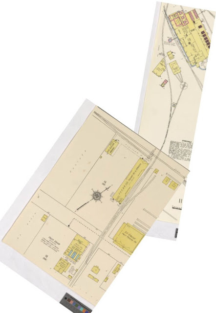
The Buena Vista Branch
The Buena Vista Branch

 |
| Flooding of the Salinas River, 1911. Courtesy CA Views Archives, Mr. Pat Hathaway Archives |
The sugar factory required a lot of water, and needed a way
to store it during the dry months. To solve this problem, a reservoir was dug
in the hills above the Salinas River. A water pump, placed in the center of the
river, was used to pump water into the reservoir. A water tank was installed at
the reservoir to provide head pressure for the water pipes that lead from the
reservoir to the factory. These pipes were strung underneath a six-span truss
bridge crossing the river. The bridge was built so that it curved slightly
westward.

The bridge provided farmers with a way to bring their wagon
loads of sugar beets to the factory. It also included both standard and narrow gauge
rails. The company’s narrow gauge engines pulled the standard gauge steam donkey,
which was used to lift the water pump out of the water during inclement weather.
The standard gauge track stopped in the center of the bridge, while the narrow gauge
rails continued across the river, and approximately 100 yds to the west along
the river bank. It is my understanding that this may have been used as a freight loading stop for farmers along the south bank of the river.
 |
The line as it appeared between 1898 and 1905
|
In 1905, after a few years of negotiations with local farmers, the PVCRR officially created the Buena Vista
Branch, which began at a switch just beyond the river crossing. The branch was initially 3 miles long, and provided a much more efficient way for farmers to
get their produce to the factory. Before too long, the branch line reached its final length of 6 miles. In order for trains to reach the sugar beet
fields, they crossed the river, proceeded westward, then reversed direction,
heading to the east through the newly installed switch.
 |
| In 1905 the Buena Vista Branch became official. It begins at the switch shown above |
In 1914, a flood washed out the southern half of the bridge. However inconvenient this event may have been, this did allow the company to adjust the route of the new bridge, which could now head east. This revamping created a slight ‘S’ shape to the bridge.
 |
| Post flood of 1914, the western leg has been abandoned at this point |
 |
Gravel Pit No. 2. Photo Courtesy Steinbeck Country Narrow Gauge, Amstar Spreckels Collection
|


Comments
Post a Comment